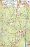
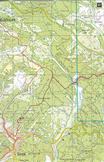
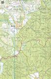
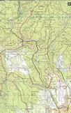
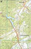
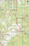
DETAILED HIKER MAPS OF THE NATIONAL BLUE TRAIL
(Last revision and update: 12th January 2020)
Maps are the property of the Cartographia map company! All right reserved! Don't copy the map details and don't share them! Use it only for private purposes, please!
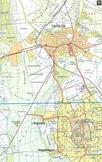
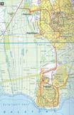
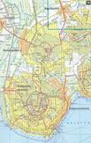
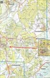
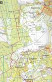
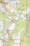
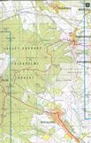
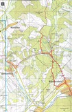
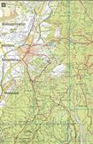
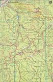
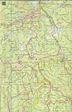
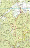
Maps are uploaded from Blue Trail guide 2002 edition. The editor tries to update the map details together with the descriptions, but only the route of the Blue Trail! The routes of other hiker trails are not maintained in the maps, so these maps don't contain the hiking trails were painted after 2002! The route of the Blue Trail is marked with red “K” characters.
You can find a detailed explanation of the Hungarian hiker paths' marks in this chapter.
CONTENT LABELS
Overview maps about the whole route
The maps of Alpokalja and Kisalföld Regions
The maps of Balaton-felvidék Region
The maps of Bakony Mountains
The maps of Vértes Mountains
The maps of Gerecse Hills
The maps of Pilis Mountains and Buda Hills
The maps of Börzsöny Mountains
The maps of Cserhát Hills
The maps of Mátra Mountains
The maps of Bükk Mountains
The maps of Borsod and Aggtelek Hills
The maps of Cserehát Hills
The maps of Zemplén Mountains
| The name of the hosting provider: | Port Kft. |
| The postal address of the hosting provider: | 9200 Mosonmagyaróvár, Szent István király út 60. |
| E-mail address of the hosting provider: | info@webtar.hu |
| The name of the author and editor of the website: | Horváth Béla |
| E-mail address of the author and editor: | horvabe1959@gmail.com |
| The information on this website is true and complete to the best of the author's knowledge. All recommendations are made without guarantee on the part of the author. The author disclaims any liability in connection with the use of this information. | |
 Creative Commons license: Attribution-NonCommercial-NoDerivatives 4.0 International Creative Commons license: Attribution-NonCommercial-NoDerivatives 4.0 International | |
| Please read the Cookie Policy of this website! It contains important information! | |


